Oh No! Forecast for Weekend Storm Shifts Colder
We could see a little more in terms of snow and ice than was originally expected this weekend, according to some of the latest forecasts.
Channel 6's Cecily Tynan explains that if the latest trend from the weather computer models verifies, the storm, which will arrive Saturday night, could bring in more cool air than we previously thought.
"Resulting in more front end snow Saturday evening before mixing/changing over to rain overnight near Philadelphia, but substantial icing north," Tynan wrote.
WHEN WILL IT SNOW?
- A strong storm will arrive Saturday evening, and it will likely start as snow across our area around 6 pm.
- Later in the evening temperatures will rise, and we could see heavy rain early Sunday.
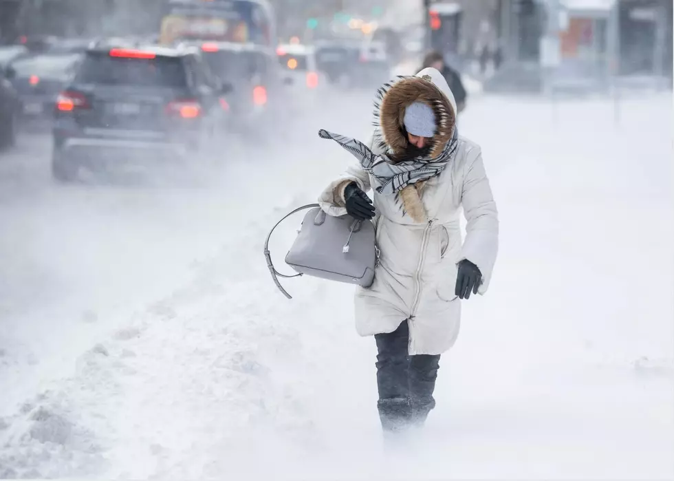
- The real trouble begins Sunday afternoon as temperatures will crash from the 40s to the single digits causing a FLASH FREEZE.
A FLASH FREEZE COULD BE SUPER DANGEROUS
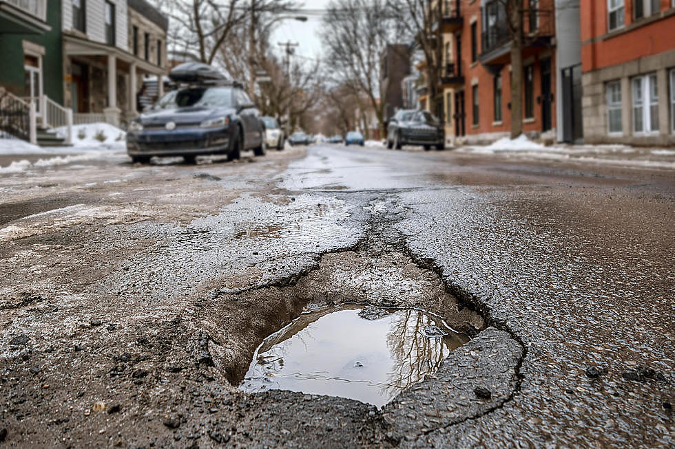
"Any of the slush or puddles of water left on roads will quickly freeze solid (not the same as freezing rain,)" Tynan wrote Wednesday. "Temperatures will likely fall 20 degrees in just three hours. Plan travel accordingly."
In fact, some forecasts are explaining that even your car doors could become frozen shut. It will be super slick late Sunday and early Monday.
"I remember a particular flash freeze in February 2015 that caused a dramatic 40-car pileup on the NJ Turnpike," Meteorologist Dan Zarrow said on Wednesday. "So even after the snow-mix-rain ends, we'll still have to be vigilant for slippery conditions Sunday night."
MONDAY'S COLD WEATHER WILL BE TOUGH
Monday will be insanely cold, by the way.
"Temperatures will start in the single digits Monday morning and never climb out of the teens during the afternoon," according to Cecily.
More From 94.5 PST