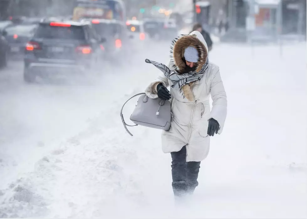
White Christmas? Not Quite, But It Could Snow Tonight
As we told you last week, our hopes of a White Christmas have been dashed. Forecasters are calling for a sunny (but cool) Christmas Day across our area this year.
However, an updated forecast from the National Weather Service indicates that we COULD see some snowflakes to kick off the Christmas holiday.
Is your weather app showing you that yet? Even if it’s not, the National Weather Service says there’s about a 50/50 chance that we’ll see some snow between now and Christmas Day (Tuesday).
A weak clipper will pass through our area late tonight (Sunday) night and into early Monday morning. Light rain showers and snow showers are possible as that happens.
There won’t be a ton of moisture they say, and it will probably start as a rain. However, temperatures will be falling below freezing Sunday night. So as that happens we could see some snow flurries and snow showers in our area. Areas to our north and west (like the Poconos) could see some small accumulations. As for us, we won't see any accumulations.
The chance of any snow is around 50% right now, according to their forecast.
Monday morning is Christmas Eve. So does that count as a White Christmas?
Whatever happens, of course, they’re not expecting any of it to accumulate. So there won’t be travel headaches at least.
By the way, here's the forecast through Christmas:
SUNDAY - Mostly Sunny with a high around 44*. We'll see some rain/snow showers at night (low around 33*).
CHRISTMAS EVE - Early chance of snow showers then mostly sunny. High near 44*. Lows at night around 28*.
CHRISTMAS DAY - Mostly Sunny during the day, but chilly. We'll see a high of just 38*.
More From 94.5 PST