NJ weather: Warming up, but pesky clouds may eclipse the eclipse
The Bottom Line
Happy Great American Solar Eclipse day! We have been talking about it for days and weeks and months. And now finally, the sun will (partially) duck behind the moon Monday afternoon, making for an awesome show.
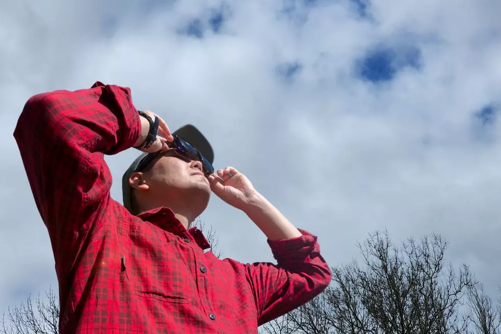
Just a quick rundown of the eclipse timeline for New Jersey. It starts around 2 p.m., peaks around 3:15 to 3:30 p.m., and will be all over just after 4:30 p.m. Never ever stare directly at the sun — you need to view the eclipse through a solar filter, like certified eclipse glasses. Otherwise, there will be no appreciable difference or danger to the day.
Unfortunately, it does look like scattered to broken clouds will build through this afternoon, at least partially blocking New Jersey's view of the eclipse. It is not a total loss though — I still think there will be enough breaks in the cloud cover to enjoy it. You might just have to be patient to get a good peek.
(By the way, the best place to view the eclipse will be the Pine Tree State of Maine. Clear skies, and a view of totality!)
Meanwhile, our weather is warming up nicely to start the new week. There are more 60s and 70s in the forecast than anything else. Our next chance of rain is coming up midweek.

Monday
First and foremost, Monday will be another pleasant, spring day. If not for the little business of the moon blocking out the sun, that would be the clear headline here.
We are starting off Monday morning with a bright, clear sky. But also with chilly temperatures, mainly in the 30s.
We will warm up nicely through Monday afternoon, with forecast highs in the mid 60s for most of the state. The coast will end up cooler, especially on barrier islands (deep in the 50s). Yes, the solar eclipse can reduce solar radiation enough to cool temperatures, but only by a few degrees.
Clouds are approaching from the west. First some wispy, thin high clouds will filter into our sky. Then thicker low to mid level clouds. The timing and thickness of that second bank of clouds will make all the difference in our eclipse viewing conditions.
Along with those scattered clouds, some spotty sprinkles may pop up. This would most likely be after the eclipse, around the late afternoon to early evening hours.
Monday night will be partly cloudy and comfortably cool. Look for low temperatures averaging in the upper 40s by Tuesday morning.
Tuesday
Tuesday also looks like a beautiful spring day. The warmest of the week, in fact.
Thermometers should shoot into the lower 70s Tuesday afternoon, despite mostly cloudy skies. Tuesday does look dry from start to finish, so there will be plenty of time to enjoy a walk, a drive, or just a breath of fresh air.
Wednesday
Our next burst of unsettled weather will come for the first half of Wednesday. Spotty to scattered showers look likely, literally in the Midnight to Noon time frame. Nothing too heavy — although a couple models paint the chance of an isolated downpour or rumble of thunder.
Wednesday will stay pretty cloudy, even though we should dry out through the afternoon. High temperatures will end up somewhere in the neighborhood of 60 degrees. (I could see temps closer to 50 in North Jersey, and possibly reaching near 70 in South Jersey.)
Thursday
Another day, another storm system, another chance of rain.
Thursday does not look like a nice day, with periods of rain for the duration. Most model guidance keeps the steadiest, heaviest rain over Pennsylvania rather than New Jersey. But we are still looking at about an inch of total rainfall, along with cloudy skies, breezy conditions, and overall blah conditions.
Not a total washout though. And not a tremendous flooding concern, although there could be some embedded thunderstorms in play.
Amidst the clouds and raindrops, high temperatures on Thursday will probably end up in the 60s.
Friday & Beyond
Thursday's rain may linger through the first half of Friday too, before drier weather and drier air finally prevail. As skies clear Friday afternoon, a brisk wind may kick up. Temperatures will probably end up close to 60 degrees.
The weekend forecast is fuzzy, with so much other active weather between now and then. I favor a drier but cooler Saturday, with highs in the 50s. And then another chance of rain on Sunday, as we start to warm up again. However, there are some solutions that keep our weather forecast warm (60s) and unsettled (scattered showers) for the duration.
Remember: Long-term average high temperatures here in mid-April are close to 60 degrees. So that is our benchmark for "normal" this time of year. Warm days will become more and more numerous. And soon enough, cold nights will be a distant memory. Warmups and unsettled weather — that is what April is all about.
Solar eclipse mania! What NJ sungazers need to know for April 8, 2024
Gallery Credit: Dan Zarrow
Dan Zarrow is Chief Meteorologist for Townsquare Media New Jersey. Follow him on Facebook for the latest forecast and realtime weather updates.
NJ Street Fairs are back! See the latest 2024 schedule
Gallery Credit: Mike Brant


