NJ weather: Sunny for now, late-week system mainly a rainmaker
The Bottom Line
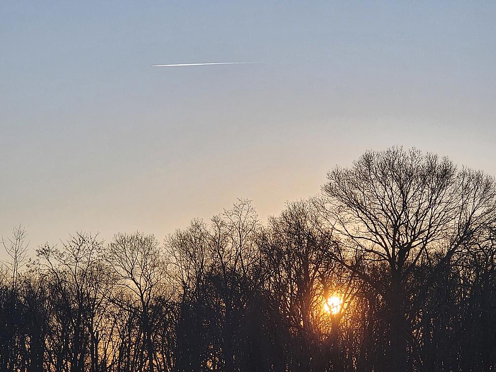
So far so good this week. We have enjoyed a couple days of quiet weather, dry conditions, and abundant sunshine. Last week's snow has been melting fast. And we can all enjoy the crisp, calm, cool weather.
It is hard to believe we're in the final third of February now. Normal high temperatures now are between 44 and 47 degrees. We will end up shy of thar mark on Tuesday. But a slow warmup is expected through the rest of the week.
We are also carefully watching our next storm system, set to impact New Jersey between Thursday night and Friday. As the headline of this post suggests, it is going to be primarily a rainmaker for us — on the order of a quarter-inch to half-inch. There is a very limited opportunity for some wintry mix, but widespread accumulations and travel impacts are unlikely.

Tuesday
Quiet weather with bright skies will continue Tuesday.
Tuesday morning's temperature map is a lesson in radiational cooling. That refers to the "perfect" conditions for temperatures to bottom-out: Clear skies, calm winds, and a dry, cool air mass. Plus there is the snow cover factor. Where last week's snow is still on the ground, temperatures have dipped into the teens. Where there is not, you are in the 20s.
High temperatures on Tuesday will reach about 40 degrees. Slightly cooler than Monday, and slightly below normal for late February (mid 40s). The chill will be mitigated by solid sunshine, light winds, and dry weather.
Tuesday night will be mainly clear and seasonably cold, with lows in the mid 20s.
Wednesday
Not too shabby. We will see some clouds creep in on Wednesday. But temperatures will start to creep upwards.
Look for highs around 40 to 45 degrees on Wednesday. We'll call it partly sunny. And still dry.
Thursday
Mid 40s and increasing clouds are in the forecast for Thursday. The daytime hours should stay dry.
Our next storm system will push in Thursday evening. (Models differ somewhat on the overall start time, ranging from 5 p.m. to 10 p.m.)
At onset, there is a chance for a brief period of wintry mix in North Jersey. Meaning some snow and freezing rain. I supposed there is an outside chance for a coating on the ground and slick spots — but I am still thinking that accumulations and travel impacts will be minimal.
Scattered rain showers will persist Thursday night.
Friday
You will probably need the umbrella and windshield wipers Friday morning, the period of steadiest rain this week. I do not see anything heavy or inherently hazardous — just wet.
We will dry out Friday afternoon, with slow clearing a little later. Despite the raindrops and thick clouds, Friday will be the warmest day of the week, with highs around 45 to 50 degrees.
Saturday & Beyond
Colder air returns on Saturday, which promises to be a blustery start to the weekend. At least it will be dry.
Expect partly sunny skies and wind speeds in the "breezy" category on Saturday. High temperatures will dip to the lower 40s.
Sunday will be the sunnier and warmer day of the weekend, potentially pushing back into the upper 40s.
Looking ahead to next week, we are going to get a little taste of Spring weather to close out February. Thermometers may flirt with 60 for a few days next week — as you might guess, that is quite unseasonable for late February.
We will have to watch for an inevitable strong cold front set to arrive around the middle of next week, transitioning our atmosphere back to colder, more active weather. That sharp transition puts many potential issues on the table, ranging from thunderstorms to wind to winter weather.
Active, colder weather just in time to start the month of March? How lion-ish.
Still More NJ DOT humorous safety messages
Gallery Credit: Dan Alexander
Dan Zarrow is Chief Meteorologist for Townsquare Media New Jersey. Follow him on Facebook for the latest forecast and realtime weather updates.
When will NJ theme parks open for the 2024 season?
Gallery Credit: Dan Zarrow


