
NJ’s record warmth to end with a bang: Thunderstorms, wind, snow possible
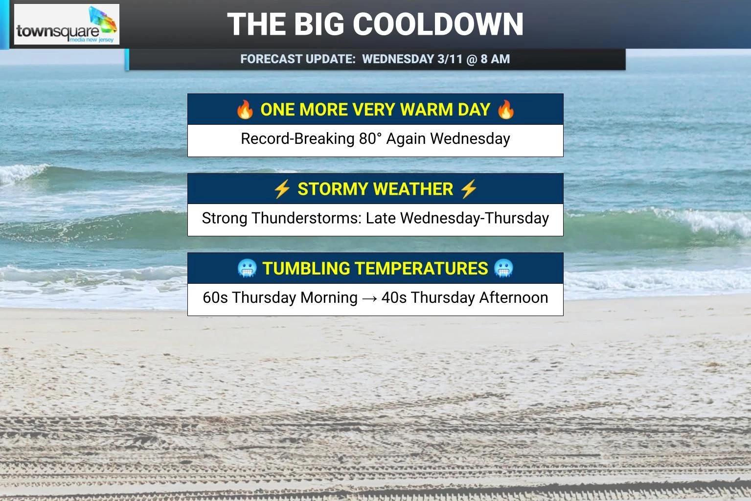
After hitting record temperatures on Tuesday (82 degrees at Newark), we will do it one more time Wednesday. Most highs will reach near 80 degrees, cooler at the Shore. Skies will be increasingly cloudy this time around. And we will have to watch the western sky for strong thunderstorms starting late afternoon. These storms could get nasty, with heavy rain, wind, hail, and even an isolated tornado on the table. The best chance of a storm will be to the north and west through Wednesday evening. Temperatures will only fall into the 60s through Thursday morning. And then Thursday will be a big transition day — a real "March's lion roars" kind of active, nasty weather day. Under cloudy skies, scattered rain will slide across the state throughout the day. Rumbles of thunder and gusty winds are possible. And we could even see a transition to wintry mix or snow Thursday afternoon. Temperatures will tumble from the 60s in the morning to the 40s in the afternoon to near 30 at night. Friday will be cool and breezy, in the 40s. Temperatures should recover to the seasonable 50s this weekend.
Wednesday NJ weather: One more warm day, thunderstorms late
Wednesday will be day #4 of 4 of this welcome streak of warm weather. New Jersey's snow cover is practically gone. Records have been broken. And souls across New Jersey have been thawed.
We are starting Wednesday morning on the mild side, with most temperatures in the 50s. High temperatures will once again reach about 80 degrees, outside of northern and coastal portions of the state. I do not think it will be quite as warm as Tuesday afternoon (as high as 84 in NJ). But we are still running about 30 degrees above normal for this time of year. That's just ridiculous.
One noticeable change: We lose the brilliant blue sky. It will be partly to mostly cloudy.
One even more important change: Strong thunderstorms will be possible starting late Wednesday afternoon, after 4 or 5 o'clock. Initially, the best chance for thunderstorms will be to the north and west. That threat will spread eastward somewhat through Wednesday evening.
By strong, I mean gusty winds and heavy rain are possible. By definition, every thunderstorm contains potentially dangerous lightning. Hail is a possibility as well. And our atmosphere is so charged up that an isolated can not be ruled out, although the best forcing and chance for "twisting action" is admittedly west of New Jersey.
The bottom line: By dinnertime, we will have to be "weather aware" — staying vigilant and alert to rapidly changing weather conditions.
We have to keep the chance for a shower or thunderstorm alive through Wednesday night. Temperatures will only fall off slightly through the overnight hours, into the 60s. Kind of a summer-ish night.
Thursday NJ weather: Big transition day
A strong cold front will be the big story on Thursday, pushing temperatures downward significantly. While Thursday will begin in the 60s, thermometers are forecast to dip into the lower 40s by late afternoon. And then a light freeze looks likely for Thursday night, with lows around 30 degrees.
Yeah, the warm streak is over. It's back to winter and back to March.
A band of scattered rain will also sweep through New Jersey on Thursday, generally traveling from northwest to southeast throughout the day. It is not going to rain all day, and it will not rain all that hard. But I think it will be an inclement weather day overall. Definitely cloudy and probably damp.
Rumbles of thunder are possible. Gusty winds are possible too, both within thunderstorms (to 60 mph) and as colder air moves in (to 35 mph).
I even have to say that a transition to wintry mix or snow is possible Thursday afternoon, as those temperatures drop. Some forecast models are pumping out an inch or two of snowfall — which is not nothing. But I think those totals are overdone, especially considering how warm and wet the ground is going to be. Could we see some flakes flying around? Yes. Could there be some sloppy, slippery spots late Thursday? Sure, especially around southern New Jersey given the timing and geography of everything. Accumulations? Eh, I'm not really buying it.
I know, I know. We go from 80 to icy within 24 hours. Ridiculous. But that's March in New Jersey for you!
Friday NJ weather: Settling into cool weather
By Friday, our weather will settle down a bit. You can stash the t-shirt and shorts away for a while, and dig out the jacket again.
We will end the workweek with a mix of sun and clouds, a stiff breeze, and high temperatures in the mid 40s. Not a bad weather day, especially given dry weather. Just back on the cool side.
Saturday NJ weather: Seasonable weekend
On balance, most of the weekend looks good too. It is the last weekend of winter, by the way. (The Vernal Equinox — the first day of Spring — is coming up next Friday.)
Saturday should be seasonable, with high temperatures expected right on the normal for this time of year, at 50 degrees. Partly sunny, breezy, and dry.
Sunday warms into the 50s, but with more cloud cover.
Another storm system will start to push in early next week, in the Sunday-Monday time frame. At the moment, this looks to drive in an influx of warmer air and shows up as a rainmaker in model guidance. I would not completely rule out a wintry component though — we will see how things continue to develop.
Temperatures next week will trend cool, with no more 70s or 80s in sight for quite a while. Another storm system signal late next week could also get interesting, in the Thursday-Friday time frame.
Significant or historical events in New Jersey for March (in chronological order)
Gallery Credit: Dan Alexander
Dan Zarrow is Chief Meteorologist for Townsquare Media New Jersey. Follow him on Facebook for the latest forecast and realtime weather updates.
15 Things You Should Never Leave in Your Car in Cold Weather
Gallery Credit: Chris Rollins
More From 94.5 PST


