
Turning cooler, cloudy, and showery Friday – will it be too cool this weekend?
The cold front is here! And wow, is it craaaaaawling along. The introduction of dry air is right on schedule. But I'm concerned that showers and clouds will plague New Jersey for most of Friday, before skies clear and our weather turns refreshing for the weekend.
Temperatures on this Friday morning are mainly in the lower 70s. Still sticky! Totally expected. Dry air has started to leak into northern New Jersey, and will continue to envelop the entire state through Friday early afternoon. It's going to get more comfortable as the day goes on.
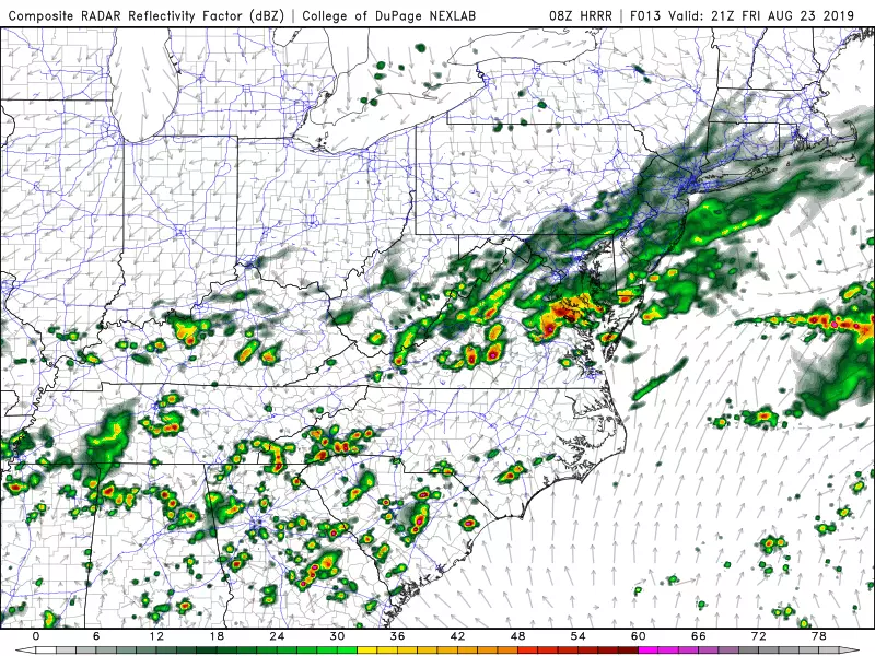
In addition, I now have to keep scattered showers in the forecast through Friday early evening (dinnertime). It's not going to be a total washout. I don't see anything heavy or severe. It's just going to feel like a damp day, with occasional showers and bands of steadier rain passing through the state.
The combination of the rain, clouds, and cooler air will keep high temperatures in the mid to upper 70s Friday. That's about 15 degrees cooler than Thursday, and about 5 to 10 degrees cooler than normal for late August. Not a pretty beach day, unfortunately.
As our weather really clears out and dries out Friday night, you'll finally find it refreshing. Overnight low temps will dip into the mid 50s for the hilltops of NW NJ, the upper 50s across interior NJ, and the lower 60s for urban and coastal areas.
Saturday is still the shining star of this forecast, thanks to abundant sunshine, generally mild temperatures, and very low humidity. I'm seeing high temperatures in the 75 to 80 degree range, with the coolest temperatures along the Jersey Shore (assuming a sea breeze sets up).
My only concern about Saturday is whether it's too cool for the beach, the pool, etc. It is still summer, after all. And lots of New Jerseyans will be on vacation next week (yours truly included). I think the key here is sunshine. 70s are nice and comfortable, and can feel quite warm as long as skies are sunny. So as long as there aren't too many clouds and the sea breeze isn't too strong, it's going to be a beautiful start to the weekend.
Sunday starts equally great, with some 50s and bright sunshine in the morning. As winds become more easterly, blowing off the ocean, clouds will markedly increase through Sunday afternoon. In addition, several consecutive model runs have shown a chance for sprinkles on Sunday, especially along the Jersey Shore. Temperatures will continue to decrease, topping out in the mid 70s (at best).
Dan Zarrow is Chief Meteorologist for Townsquare Media New Jersey. Follow him on Facebook or Twitter for the latest forecast and realtime weather updates.
More From 94.5 PST


