Forecasters: Accumulating Snow Possible Next Monday in Philadelphia
For the first time this year, the snow icon may be showing up in the weather app in your phone.
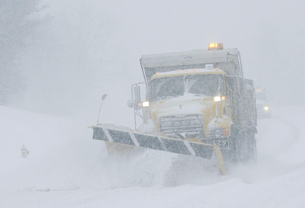
Yeah, do you see it there for Thursday night/Friday? It turns out there’s also a chance of snow NEXT week as well, and forecasters actually say that chance could be more significant.
So we asked Townsquare New Jersey’s Chief Meteorologist Dan Zarrow to explain the forecast.
For Thursday night/Friday morning - Dan says we could see “some flurries flying around (especially in North jersey)” as a front passes through our area on Thursday evening and temperatures take a nosedive.
NBC10's Bill Henley says if we get any snowflakes on Friday they'll be pretty insignificant and even describes it as just a nice sight to see.
Of course, it'll be cold all weekend. Then the more significant storm at this point looks to arrive in our area next Monday (Veteran’s Day). Dan says that both the GFS and European weather models show widespread snow across our area, and notes “maybe even some accumulations” are possible.
However, as you can imagine it is WAY too early to nail down any specifics in our area.
“Next Monday’s situation is worth watching,” Zarrow told us Monday morning.
Computer modeling will likely waffle back and forth on the possibility of snowfall, of course, but as of this moment, the best chances of accumulation are just north and west of the Philly/Trenton area.
That, of course, is likely to change (one way or another). We'll keep you posted.
More From 94.5 PST