Friday NJ weather: Warm streak ends, with spotty showers and a cold wind
The Bottom Line
Thursday’s hot spot was 77 degrees. Wow! Record high temperatures were broken at both Newark and Trenton. Double wow!
Friday will be the fourth and final day of this streak of warm, springlike weather. It won’t be as beautifully bright and wonderfully warm as Thursday though, with cloud cover and spotty showers in the picture.
A cold wind will blow in Friday night. And we dive into this final full weekend of winter with much cooler weather.
Temperatures will ping-pong a bit between cool and seasonable through next week. One thing is for sure - we are not going to experience widespread 60s and 70s again for quite a while.
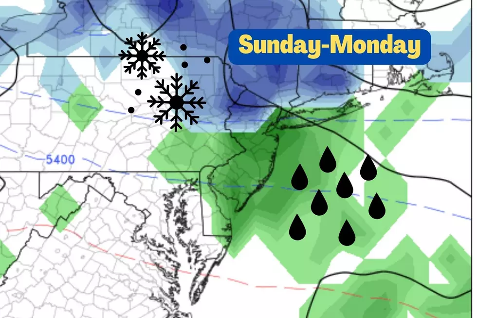
We’re also watching a storm system in the Monday night to Tuesday time frame, which could bring some wintry mix to the Garden State.
Friday
As warm as the past few days have been, I think the most springlike “feel” of the week is right here, right now, Friday morning. It’s pretty warm out there, with temperatures mainly in the 50s. By my tally, we haven’t seen such mild morning temperatures since mid-November. It’s so nice not needing a heavy coat for a change!
But it won’t be a perfect weather day, thanks to substantial cloud cover and a pair of cold fronts impacting our weather.
Cold front #1 is a weak one, and will do exactly two things. First, a round of rain showers and sprinkles will sweep from northwest to southeast Friday morning. Those raindrops will be spotty and light. Second, slightly cooler and (much) drier air will push into New Jersey.
I’m optimistic that will lead to a pleasant and dry Friday afternoon. We will see lower to mid 60s Friday afternoon. That is 5 to 10 degrees cooler than Thursday (except for the coast). But it’s still about 15 degrees above normal for mid-March.
Cold front #2 will strike late Friday evening. This one will spark the big cooldown. A brisk northwesterly wind will probably gust between 30 and 40 mph overnight. Skies will clear as temperatures tumble overnight, to around the freezing mark (lower 30s) by Saturday morning.
Saturday
Definitely back to the cool side of the world. But this is not an “arctic blast,” just a return to more typical March-ish weather.
Saturday will be bright and sunny and dry. High temperatures will be limited to the mid 40s - about 5 degrees below seasonal normals.
Sunday
The warmer day of the weekend, as highs pop into the lower 50s. Not too shabby, especially as mostly sunny skies continue. It will get a bit breezy on Sunday ahead of our next cold front, which could be a nuisance.
Don’t forget Daylight Saving Time begins this weekend. We “Spring Forward,” skipping the 2 a.m. hour early Sunday morning. Happy time traveling!
Monday
We start the new workweek with another cooldown. High temps will get knocked back into the lower 40s Monday afternoon. No other weather woes are expected during the daytime hours, with sunshine and late-day clouds.
The Extended Forecast
We are getting a look at our next storm system, scheduled for late Monday night to Tuesday. And based on timing and temperatures, I believe there is a chance for some wintry mix and snow, before flipping to rain later on. Slippery spots? Possible. Accumulations? Eh, the ground is pretty warm now, and sun angle could be a problem with such light snow/mix. For now, it’s just something to watch in the coming days.
Long-range models show 40s with the mix/rain on Tuesday. Then warming into the 50s for Wednesday and beyond. Next chance of rain would come late-week.
Have a great weekend!
Dan Zarrow is Chief Meteorologist for Townsquare Media New Jersey. Follow him on Facebook or Twitter for the latest forecast and realtime weather updates.
More From 94.5 PST


