Monday will be NJ’s 14th ‘deep freeze’ day of the winter season
The Bottom Line
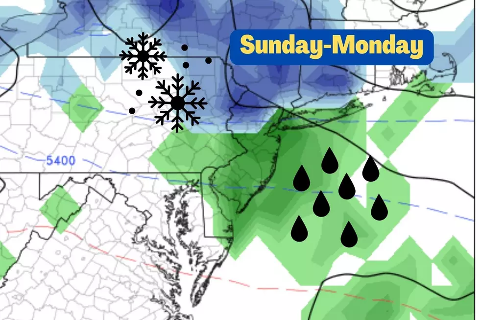
Sunday's super snow forecast did not transpire as expected. At all. Forecast timing, temperatures, and totals were way off, as moderate snow was observed in northern and parts of central New Jersey. This is one winter storm I'm more than happy to put in the rearview mirror.
Temperatures always crash with fresh snow on the ground. And we find ourselves in a cold air mass for Monday and Tuesday. Then temperatures start warming Wednesday into Thursday.
Our next storm system will be a cold front arriving Thursday night. It looks like a rainmaker for New Jersey.
By next weekend, we should recover to fair, dare I say pleasant, weather.
Monday
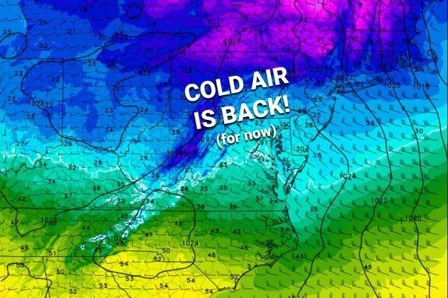
It's cold. As the headline suggests, Monday will be New Jersey's 14th day of below-freezing high temperatures. (That statistic is for Newark and Trenton airports; for ACY this will be the 7th such day.) Even though it has been a cold winter overall, that is actually below average. (Although winter isn't over yet.) And it is way below the record 46 deep freeze days in the winter of 1977-78. Brrr!
Anyway, the air is cold and the air is dry. We're starting your Valentine's Day with temperatures mainly in the teens. And highs will only reach the upper 20s, on average, Monday afternoon. Add a biting breeze, out of the northwest to 20+ mph, and the wind chill ("feels like" temperature) will do no better than the teens all day.
Skies will be mostly sunny, with passing clouds along the way. Some flurries are possible, as snow showers over Pennsylvania fizzle. (Best chance for a few snowflakes would be in SW NJ sometime Monday morning.)
Monday night will be frigid too. With clear skies and calmer winds, lows will once again dip into the teens across most of the state. Keep in mind, anything that melted during the day will refreeze by Tuesday morning - watch for slippery spots.
Tuesday
Only a little bit better. But at least temperatures will reach above freezing. (Except for far northern New Jersey.)
Look for highs in the mid 30s, with bright sunshine. Winds will be lighter than Monday - therefore it will be a much more comfortable day.
Wednesday
Turning more seasonable. Highs warm into the mid 40s. Early sunshine will lead to afternoon clouds. Overall a dry and pleasant day.
Thursday
Changes will be afoot. Warm then cold. Windy then wet.
First of all, let's talk about the return of unseasonable warmth. High temperatures return to 60 degrees, and hold there through the afternoon and evening.
It will be increasingly windy too. The south-southwest flow fueling the warmup will be more than noticeable. And then, late night wind will cause an eventual cooldown, as it switches to a northwesterly direction. In both cases, I am concerned about wind gusts in the 40 to 50+ mph range.
Skies will be mostly cloudy. And the approaching cold front will spark a period of soaking rain. First raindrops may start as soon as Thursday afternoon, becoming heavier and steadier through the night. Yes, we're just talking about wet - not wintry - weather. About a half-inch of rain seems likely.
Friday
By the time you wake up Friday morning, rain will be wrapping up and colder air will be returning to Jersey. We'll settle into the lower 40 degrees by Friday afternoon.
It's important to note that this "arctic blast" isn't nearly as dramatic and frigid as the last several. Lower 40s is pretty close to the seasonal normal high for mid-February. Is that a sign that the polar vortex is losing its grip on the Northeast? Is that a sign that the "dead of winter" is behind us now? Hmmm.
Friday will be breezy, with sunshine emerging by the afternoon.
The Extended Forecast
At the moment, I like what I see for the weekend. (A welcome change from some very active weather weekends since the beginning of the year.) Plenty of sunshine. Light winds. Dry weather (as a coastal storm system stays way south of NJ). Highs in the 40s on Saturday, and potentially in the 50s on Sunday. Nice!
There are zero threats of snow in the long-range forecast. That doesn't mean winter is over - oh, we still have five weeks to go until the Spring Equinox.
Dan Zarrow is Chief Meteorologist for Townsquare Media New Jersey. Follow him on Facebook or Twitter for the latest forecast and realtime weather updates.
Where everyone knows your name: Friendliest bars in NJ
Gallery Credit: Jordan Jansson
LOOK: Food history from the year you were born
Gallery Credit: Joni Sweet
More From 94.5 PST


