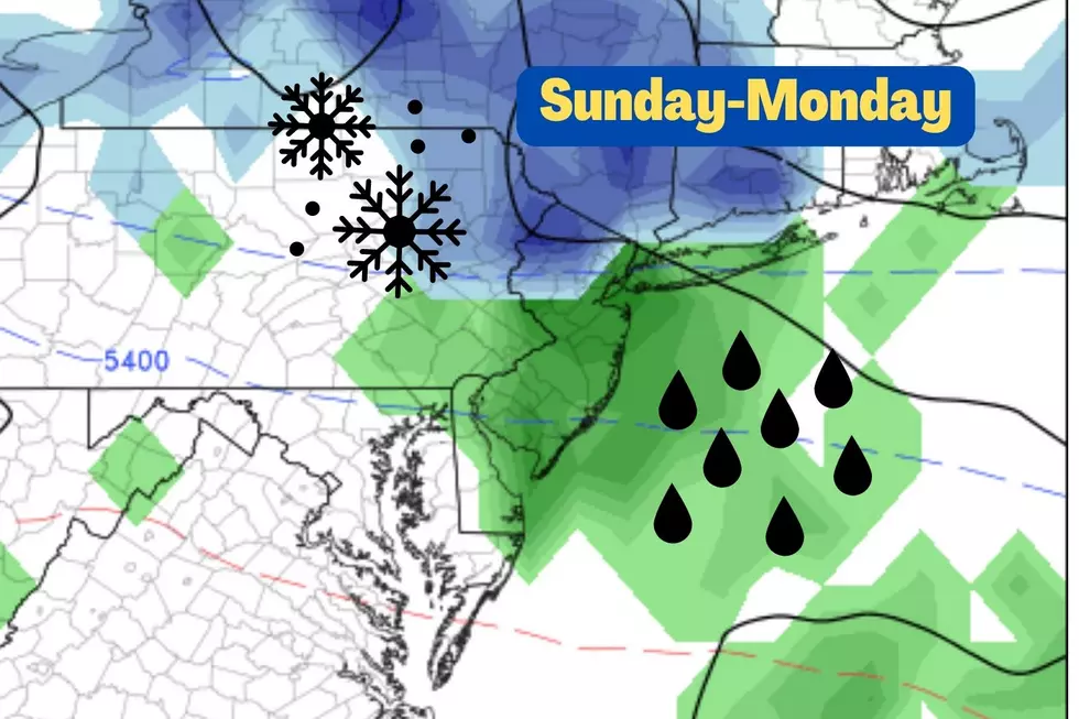
There is only one piece of inclement weather in NJ’s forecast this week
The Bottom Line
Welcome to the final week of April. Lots of New Jerseyans (including myself) are headed back to school and work after a Spring Break vacation. And we'll be greeted by decent weather for Monday — although cloudier and slightly cooler than Monday.
Driven by a cold front, our one and only piece of inclement weather this week will arrive late-day Tuesday.
And then cool temperatures will be the story through the rest of the month. Highs will only reach the 50s on Wednesday and Thursday. A warming trend will carry into early May.
Monday
We are so close to some very warm air. From Virginia on south, temperatures will soar into the 80s again on Monday. But here in New Jersey? 60s, at best.
I think it's fair to call it a seasonable day, with temperatures near-normal for late April. We're starting off with temperatures in the 40s away from the immediate coast. You'll almost certainly want a jacket early on.
High temperatures will mainly reach about 60 to 65 degrees Monday afternoon. Thermometers will be tempered by partly to mostly cloudy skies, and a light southeasterly (on-shore) breeze. Not too shabby, especially with dry weather.
By Monday night, we'll have generous cloud cover in place. It will be otherwise quiet and cool, with lows around 50 degrees.
Tuesday
I think everyone will need the umbrella and windshield wipers at some point Tuesday. But it's not a soaking. Nothing severe. Nothing wintry. And certainly not a washout.
Skies will be mostly cloudy to overcast on Tuesday. But we will see a mini surge of warmth, pushing temperatures into the 60s across most of the state. (I could even see some lower 70s to the southwest.)
As a cold front approaches from the west, scattered showers and thunderstorms may develop Tuesday afternoon. Some models paint an isolated shower over New Jersey late Tuesday morning. The best chance for raindrops will come between mid-afternoon and late evening (2 p.m. to Midnight).
Total rainfall may reach a quarter-inch in spots.
As cooler air arrives behind the frontal boundary, temperatures will dip into the 40s by Wednesday morning.
Wednesday
Cool and breezy. Feeling more like late March than late April.
High temperatures will be limited to the mid 50s Wednesday afternoon. Holding about 10 degrees below normal for this time of year. It will be breezy too, with winds out of the southwest sustained up to 20 mph.
Look for a mix of sun and clouds, a predominantly bright sky. I can't rule out a late-day sprinkle.
Thursday
It's worth noting that most of the state will face a frost/freeze early Thursday morning, as temperatures dip into the 30s. Yes, that is unusually cold this late into the spring season. And yes, most of the state is now beyond the average last freeze date. But it's not unheard of to see 30s even in May.
Thursday afternoon, temperatures will once again top out in the mid 50s. It looks even breezier than Wednesday (if not downright windy). But it will be sunnier too.
The Extetnded Forecast
A warmup will kick in for the weekend. High pressure will dominate New Jersey's atmosphere as we turn the calendar page from April to May.
Our latest forecast shows high temperatures around 60 on Friday, in the lower 60s on Saturday, and mid 60s on Sunday. Next substantial rain chance won't come until sometime next week.
Dan Zarrow is Chief Meteorologist for Townsquare Media New Jersey. Follow him on Facebook or Twitter for the latest forecast and realtime weather updates.
Netflix’s Most Popular TV Shows Ever
Every Marvel Movie Ever Made, Ranked From Worst to First
More From 94.5 PST


