Thursday NJ weather: Clouds, cooler temps, and some rain
The Bottom Line
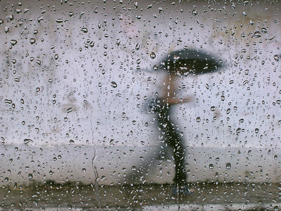
There's good news and bad news for those still without power. The good news — our weather turns unseasonably cool for a couple of days, so not having air conditioning will be slightly more comfortable. The bad news — embedded thunderstorms may produce dangerous lightning and/or pockets of heavy rain, which means crews may need to "pause" their work at times Thursday and Friday. The best news — weekend weather will be wonderful.
Thursday
Our setup is a classic stalled frontal boundary — the leading edge of slightly warmer, more humid air acting as a "highway" for little storm systems to ride into New Jersey.
As of this writing (5:30 a.m.), rain is starting to bubble up into South Jersey. This first round of rain Thursday morning will probably be limited to the southern half of the state. And then scattered thunderstorms are possible throughout southern and central NJ through Thursday afternoon.
For the most part, rainfall totals will be unimpressive — less than a half-inch. However, there's a chance we get some embedded thunderstorms that "train" (form and re-form over the same spot repeatedly). That could dump several inches of rainfall over a small/localized area. Because the ground in SW is thoroughly saturated from Tuesday's tropical storm, flooding could occur quickly. That's why a Flash Flood Watch has been issued for Camden, Gloucester, Salem, and Cumberland counties through Tuesday morning. (For now — I suspect that geography and/or timing will change once we see where the heavy rain is.)
The day won't be a total washout. Skies will be mostly cloudy, but that descriptor still allows for some breaks of midday sun. High temperatures will range from the upper 70s (where it rains) to the lower 80s (where it doesn't).
Even though it won't be a good beach day weatherwise, the surf continues to calm. Our rip current risk is down to low, with 2 to 3 foot ocean waves.
We'll keep the chance of showers alive Thursday night, with possible fog too. Low temperatures not too bad, in the upper 60s to around 70 degrees.
Friday
Play it again, Weatherman Dan. Periods of rain, could be heavy at times. This time, the entire state could get wet. It will be cloudy and slightly more humid. High temperatures will only reach the upper 70s across New Jersey.
Saturday
Showers may linger into Saturday morning. Perhaps even as late as Noon. But big improvements will take over through the rest of the weekend. Saturday will become partly sunny, with pleasant just-below-normal high temperatures between 80 and 85 degrees. It will turn into a very nice summer day.
Sunday
Mostly sunny and warm. Dry air and dry weather. Looks like a real winner to me. High temperatures are forecast to reach the upper 80s, away from the coast.
Monday & Beyond
Heat and humidity will surge again for the first half of next week, with inland high temperatures in the 90s and the heat index probably approaching 100. Sweaty. And maybe some popup thunderstorms around too, especially on Tuesday.
Interestingly enough, we are now officially on the backside of summer. On average, New Jersey's hottest part of the year occurs between July 3 and August 3. So normal temperatures are on the decline from now to mid-January.
Dan Zarrow is Chief Meteorologist for Townsquare Media New Jersey. Follow him on Facebook or Twitter for the latest forecast and realtime weather updates.
More From 94.5 PST