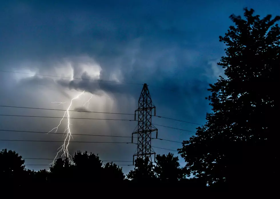
Tornado Warning Lifted, Flash Flood Watch Put Into Effect
We aren’t quite done with the nasty weather just yet.
Although Wednesday’s tornado watch for 7 NJ counties was lifted around 9 p.m. last night, the National Weather Service issued a flash flood watch for a majority of the state, which went into effect at 2 p.m. and lasts until 10 p.m.
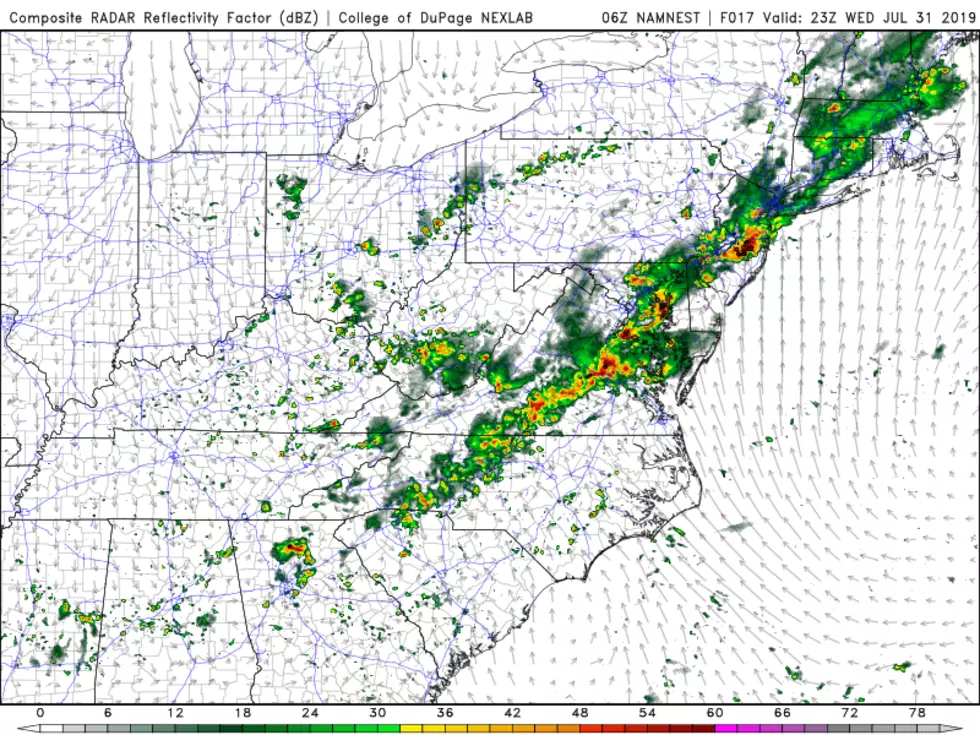
If you're out and about, you can expect the strong storms to begin around 6 p.m. and last until 10 p.m. Today’s storm won’t nearly be as severe as Wednesday’s but we can still expect to see at least 2 inches of rain. This heavy rain on top of yesterday’s downfall could potentially lead to flash flooding in areas in the state. Large hail and an isolated tornado can’t be totally ruled out.
Leading up to the rainfall later this evening, we can expect a cloudy, overcast day with temperatures in the 70s and low 80s.
Following yesterday’s storm, there were reports of flooding, falling trees, and power outages but no major damages were reported.
More From 94.5 PST