Tuesday NJ weather: Everyone gets wet, serious flooding possible
The Bottom Line
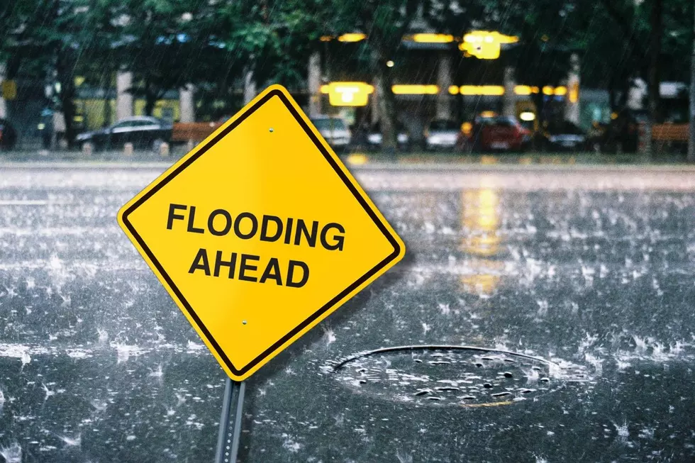
Heavy rain is great for drought-busting. But very bad when flash flooding threatens.
Although rain has filled in New Jersey's radar slower than anticipated, the overall forecast for a wet Tuesday is holding together well. As I said in Monday's weather blog update, I think we can break total rainfall into three categories:
—Everyone in New Jersey will see at least a half-inch of rain.
—Most of New Jersey will pick up 1 to 3 inches of rain. That includes North Jersey, and a swath of central and southern NJ.
—It's still likely that someone in the state sees 3 to 6 inches of rainfall, with maximum downpour rates of 1 to 2 inches per hour. That is too much too fast. And that is why we have to ring flash flooding alarm bells.
So the real bottom line for Tuesday. As the headline suggests, everyone in New Jersey will get wet. And, for several model runs in a row, several forecast models have painted heavy rain. Although there are no "tropical" factors in play, the parameters are coming together enough to warrant the serious flooding alarm bells.
One of the biggest questions I've seen: How much rain would we need to see to totally erase the severe drought? Well, over the last 90 days, the driest county in New Jersey has been Union County — running over 8 inches below normal. I don't think we'll see 8 inches of rain Tuesday. At least, I hope not — that is Ida-level extreme rainfall.
Tuesday
As of this writing (6 a.m.), it is raining in North Jersey — and it has been since Monday afternoon, with some spots already picking up over 2 inches in the bucket. It is also pouring west of Philadelphia. That band of solid rain will slide over all of New Jersey during the daytime hours on Tuesday. It is going to be wet. And in some spots, very very wet.
The "main event" — the period of juiciest air and heaviest rain — will likely be from late morning through late afternoon or early evening. Rainfall rates may hit 1 to 2 inches per hour, which can inundate roadways and low-lying areas. So not only will you need the umbrella and windshield wipers, but you'll have to stay "weather aware" for giant puddles, closed roads, and swamped basements.
The Flood Watch was expanded to include all 21 counties in New Jersey for at least part of Tuesday:
—Until Noon... Northwestern New Jersey... Morris, Sussex, and Warren counties.
—Until 5 p.m... Northeastern New Jersey... Bergen, Essex, Hudson, Passaic, and Union counties.
—Until 8 p.m... Central and Southern New Jersey... Atlantic, Burlington, Cape May, Cumberland, Gloucester, Hunterdon, Mercer, Middlesex, Monmouth, Ocean, Salem, and Somerset counties.
Those expiration times are based on when the heaviest rain will push past.
Meanwhile, it will be a cloudy, dreary day. Temperatures will be cooler, no higher than about 70 to 75 degrees. But it will remain pretty humid.
Steady rain should start to break apart (starting in southwestern New Jersey) around 4 p.m., tapering to scattered showers statewide just past dinnertime. So the flooding concern will subside overnight. It will be breezy, with lows dipping into the mid 60s.
Wednesday
The storm system responsible for Tuesday's soggy weather will be just off-shore as of Wednesday morning. And it will spit a few waves of showers towards New Jersey. So we won't completely dry out or clear out just yet.
Lingering showers are possible Wednesday morning and afternoon. Especially (but not exclusively) near the Jersey Shore. It will be mostly cloudy to overcast still. And temperatures will go nowhere, topping out near 70 degrees. (More than 10 degrees below normal for early September, by the way.)
Clouds may start to part just before sunset. Humidity levels will be more comfortable too.
Thursday
Much brighter and much better. Skies will be partly to mostly sunny. High temperatures will push into the mid 70s — a nice taste of mid to late September. Overall, a very nice day.
Friday
Sunny and seasonably warm, with highs around 80 degrees. No complaints there.
The Extended Forecast
The weekend will start with a continuation of the bright, dry, warm weather. Saturday looks fantastic for all celebrating "Locals' Summer". Expect mostly sunny skies (just some late-day clouds), with highs in the lower 80s.
Our next storm system comes into view early next week. Clouds and some showers may clip western and northern NJ on Sunday. And then Monday into Tuesday looks particularly wet. Once again, we'll keep fingers crossed for a healthy soaking, but not flooding rains.
Are an autumn-lover, craving a taste of "pumpkin spice" fall weather? We are probably about 10 to 14 days away from our next "big" cold front introducing even cooler, drier air.
Dan Zarrow is Chief Meteorologist for Townsquare Media New Jersey. Follow him on Facebook or Twitter for the latest forecast and realtime weather updates.
BEEP BEEP BEEP: These are the 13 types of Wireless Emergency Alerts auto-pushed to your phone
Gallery Credit: Dan Zarrow
Flooding in Middlesex County, NJ on Aug. 23, 2021
Gallery Credit: Edwin J. Torres, Office of the Governor
More From 94.5 PST


