Forecast: 4-6″ for Mercer & Bucks Counties, Just 1-2″ in Burlington County
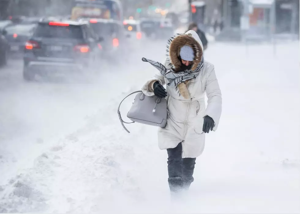
UPDATED 10 pm SUNDAY: Forecasters say that we'll see a mix of snow and sleet overnight, but conditions will drastically improve early Monday.
As of 10 pm, the National Weather Service reduced their snow forecast for the area. They Originally they were predicting that 7" would fall across the area.
However, by late Sunday evening they said more mixing had occurred and totals would be cut in half (if not more) for parts of the area (particularly for Burlington County and points south).
For Mercer County, however, nearly a half foot of snow remained likely, they said at 10 pm on Sunday.
WHEN WILL IT END:
The snow will taper off between 3 a.m. and 5 a.m. Monday.
We'll dry out on Monday, with temperatures reaching the middle 30s.
FORECASTED SNOW TOTALS:
Here's the latest forecast from the National Weather Service:
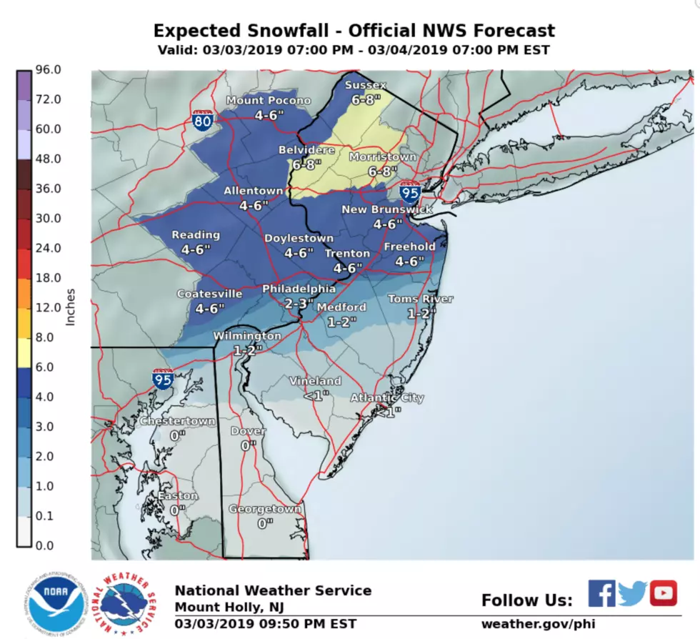
MERCER COUNTY
Pennington - 5"
Princeton - 6"
Trenton - 5"
BURLINGTON COUNTY
Bordentown - 4"
Burlington - 3"
Medford Lakes - 1"
BUCKS COUNTY
Bristol - 4"
Morrisville - 5"
Quakertown - 6"
PHILADELPHIA - 3"
It'll be slow going early Monday, but with snow stopping in the pre-dawn hours, crews will have time to clean up most of the snow.
More From 94.5 PST