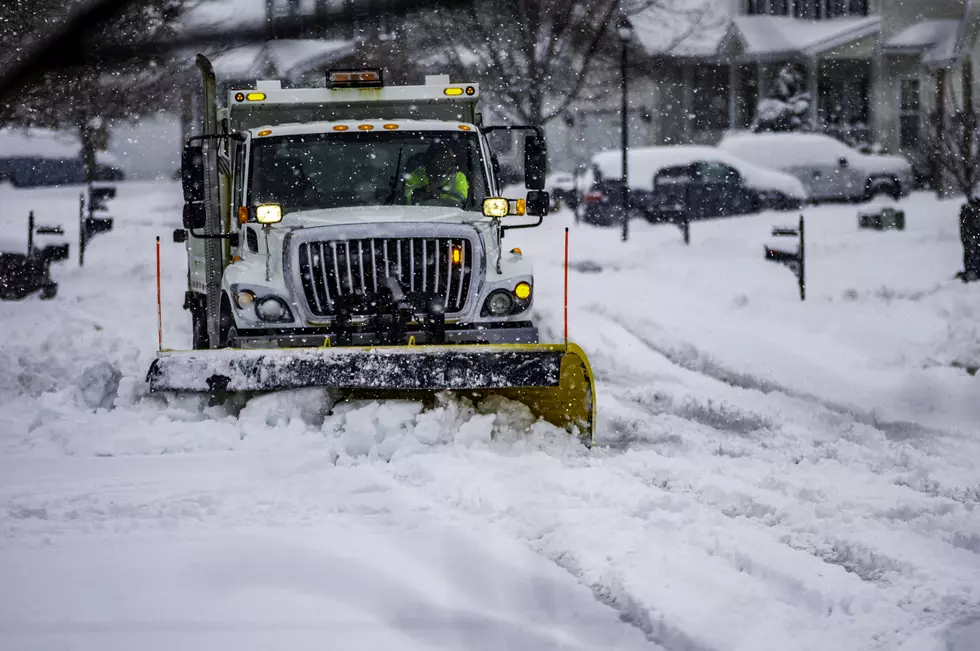
Forecast: Plowable Snow Looking Increasingly Likely on Monday
94.5 PST's Chief Meteorologist, Dan Zarrow is warning that "plowable snow" for much of New Jersey looks likely on Monday. He just shared some updates with us Thursday afternoon that answered some of our questions.
Here are those headlines:
SUNDAY WON'T BE BAD, BUT MONDAY COULD BE
"Sunday looks fairly tame, with limited light snowfall," Dan tells us. "Monday would be the really wintry day, with impacts potentially lingering into Tuesday."
"MAINLY SNOW" IN NORTHERN JERSEY, MIXING IS STILL LIKELY IN SOUTH JERSEY
"It's still the same general idea for mainly snow to the north and a 'snow to rain' transition to the south," Dan shared around 4 o'clock this afternoon.
IT COULD BE A LOT OF SNOW, BUT THAT'S NOT FOR SURE YET
"I still like the idea of plowable snow for much (but NOT all) of New Jersey. Whether that's 6+ inches or 16+ inches will depend on the exact storm track," Dan tells us.
THE FORECAST WILL CHANGE SO STAY TUNED
The afternoon weather models continue to support a significant winter storm early next week, but they continue to wobble on the storm's exact track. Which, of course, vary by each model, Dan explains.
IT'S COLD
In the meantime, by the way, it's going to be dangerously cold for the next couple of days in our area. Dan says that we'll get down to around 13 degrees tonight, with wind chills below zero. "I absolutely expect subzero wind chills by tomorrow morning," Dan tells us.
That cold will linger through the days Friday and Saturday before we warm up a bit on Sunday.
Dan Zarrow is 94.5 PST's Chief Meteorologist. You can hear his forecasts on-air at 94.5 PST, online at 945PST.com, and on-demand on the PST app.
KEEP READING: Get answers to 51 of the most frequently asked weather questions...
More From 94.5 PST