Forecasters Call For Quick Burst of Snow Tuesday Night
The weather on Tuesday will start out dry, but a storm system will arrive later this afternoon, and it will bring a little taste of winter with it later this evening.
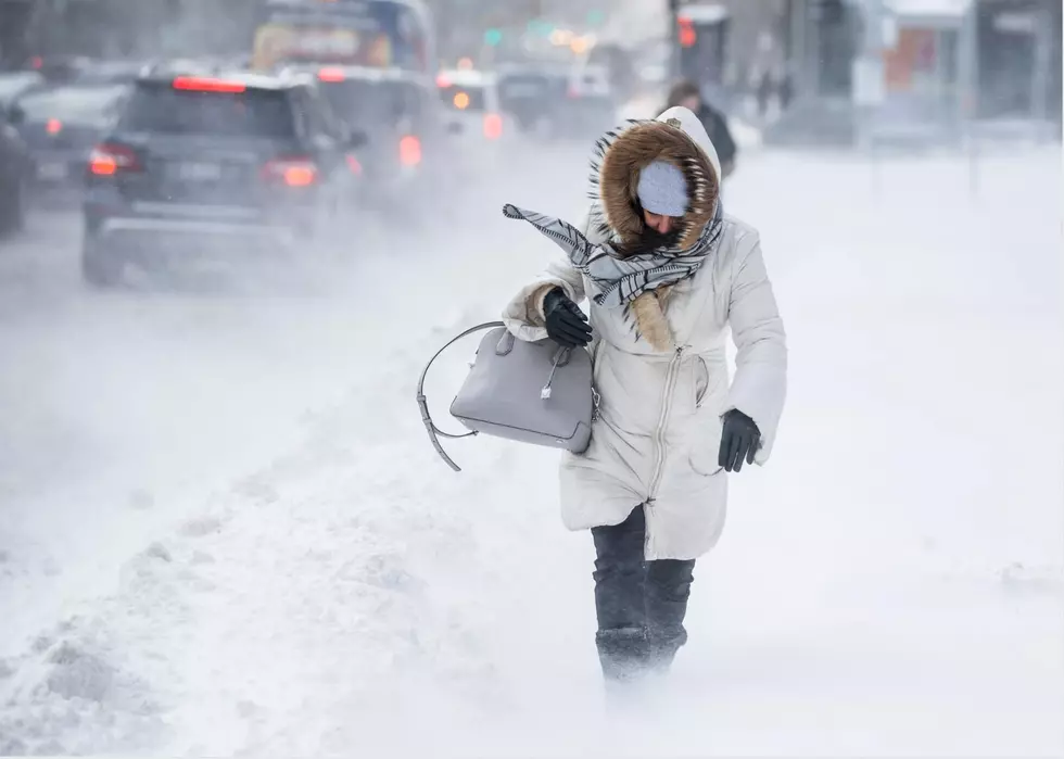
All forecasters agree that the storm won't be a big deal, but they do say that part of our area could see about an inch of snow.
Townsquare Media's Chief Meteorologist Dan Zarrow says precipitation could arrive mid-afternoon (after 2 pm), and the storm is likely to start as rain.
"It still means the evening rush you will encounter wet roads with rain," 6 ABC's Adam Joseph forecasts.
Both Zarrow and Joseph agree that the "bulk" of the storm, which is relatively small, will occur between 7 pm and 10 pm.
Adam Joseph warns that any heavy bursts of snow could create a bit of slush on some of the colder roads in our area, but the storm totals won't be that great. Most of the area is expected to see a coating to an inch in total, but some parts of our area could see up to 2" of accumulation.
Here's the detailed forecast for our area:
CENTRAL JERSEY FORECAST
(generally from the Interstate 195 corridor to about Interstate 78)
"If temperatures fall fast enough Tuesday evening, a quick coating to maybe an inch of snow accumulation is possible here.
There could be some travel impacts for your evening commute, as we'll be right on the precipice of that rain-snow transition," Dan Zarrow warns.
INLAND SOUTH JERSEY & THE I-295 CORRIDOR (INCLUDING PHILADELPHIA)
"Light rain Tuesday afternoon will eventually turn to a period of snow Tuesday evening," Dan Zarrow tells us.
"An inch or two of snow accumulation seems likely. Higher amounts are possible here if heavier snow bands set up. Whether it's rain, snow, or a bit of both, Tuesday evening's rush hour will be impacted by the weather," he said.
If you're not a fan of the wintry weather, don't worry. Temperatures will be in the 60s by Saturday, forecasters say.
More From 94.5 PST