It’s October, So When Is Snow Coming? Here Are The Earliest Snowfall Dates for Philly & Jersey
Straight up right from the top, I'm going to make a confession - I'm not a winter person.
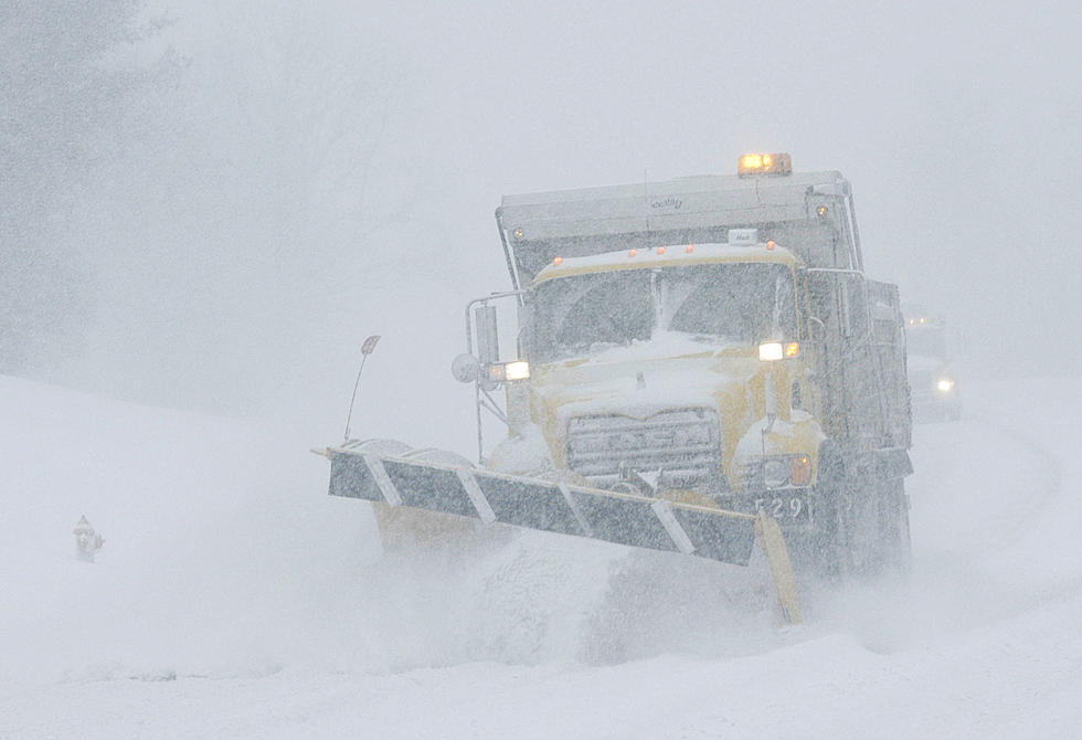
Bone-chilling cold and dangerous driving conditions? No, thank you very much!
We recently shared NOAA's early predictions for winter 2020-2021, which said that we should expect to get "clobbered" late in the season.
While it's hard to know just how accurate a forecast for that far out can be, the changing of the seasons definitely puts winter weather on our minds.
This week, as the calendar turned from September to October, we actually got to enjoy a little bonus summer, with some temperatures soaring back into the upper 70s, but you have to wonder how much longer we'll get to enjoy those days.
So, I wondered just how early could we see snow in our area?
I did a little poking around and found a handy guide from The Weather Channel that looked at both the average date for first snowfall and the earliest on record.
So, according to The Weather Channel, here are the earliest snow dates on record and the averages for the first snowfall in Philadelphia and our general geographic area:
Philadelphia
- Average first snowfall - December 17th
- Earliest first snowfall on record - October 10, 1979
Atlantic City
- Average first snowfall - December 21st
- Earliest first snowfall on record - November 5th, 1973
New York City
- Average first snowfall - December 14th
- Earliest first snowfall on record - October 21st, 1952
So, if historical records can be used as a guide, we still have a bit of time before frozen precipitation arrives, but if the early (really early) predictions are any indication, we might be in for a whopper!
KEEP READING: Get answers to 51 of the most frequently asked weather questions...

More From 94.5 PST