Latest Snow Totals: How Much Snow Fell on Sunday Across Central Jersey & Eastern Pa?
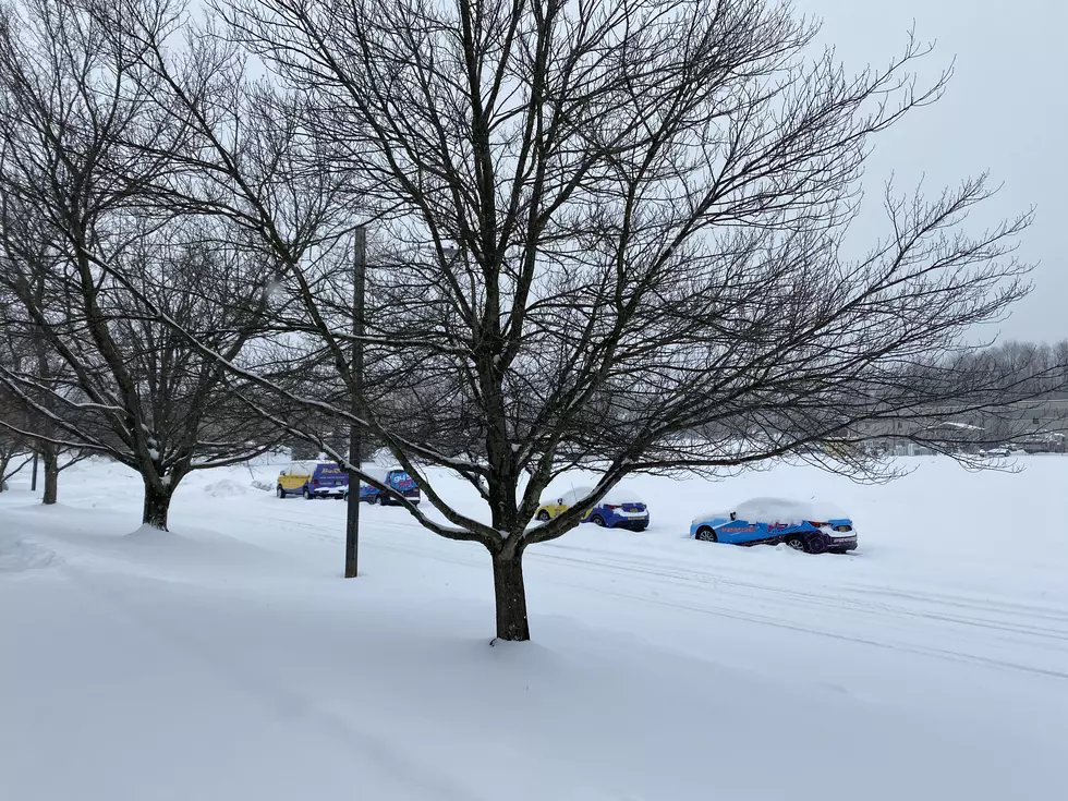
For the second time in less than a week, a winter storm dumped several inches of snow across our area. In fact, parts of our area saw double-digit accumulations. The largest being in Chalfont (Bucks County) where 10" of snow fell.
It started briefly as rain in the early hours of daylight Sunday morning before quickly changing over to heavy wet snow, as temperatures remained near freezing.
Before tapering off by 4 pm across Central Jersey, the Jersey Shore, and Eastern Pennsylvania, the storm dumped more than a half-foot of snow across our area.
Chalfont Bucks County reported a whopping 10" of accumulation during the fast-hitting Sunday storm. In Mercer County, totals were closer to 6".
Here’s a breakdown of totals across our area:
MERCER COUNTY
Hopewell: 6.0"
Lawrenceville: 5.1"
Ewing: 4.9"
Mercerville: 3.5"
BURLINGTON COUNTY
Medford: 4.9"
Burlington: 4.0"
Moorestown: 4.0"
Marlton: 3.5"
Delran: 3.0"
BUCKS COUNTY
Chalfont: 10"
Pipersville: 10"
Hilltown: 8.4"
Buckingham: 8.2"
Doylestown: 7.6"
Furlong: 7.4"
Plumstead Township: 7.1"
Warminster: 6.8"
Perkasie: 6.3"
Langhorne: 5.8"
MONTGOMERY COUNTY
Landsdale: 9.0"
Royersford: 8.0"
Norristown: 7.7"
Upper Dublin Township: 7.4"
Willow Grove: 7.3"
Harleysville: 7.0"
Horsham: 7.0"
PHILADELPHIA
Chestnut Hill: 6.0"
MIDDLESEX COUNTY
Iselin: 8"
South Plainfield: 6.0"
Woodbridge: 6.0"
East Brunswick: 5.0"
Edison: 5.0"
SOMERSET COUNTY
Bedminster: 8.1"
Warren: 8.0"
Manville: 6.5"
North Plainfield: 6.3"
Bridgewater: 6.0"
CAMDEN COUNTY
Cherry Hill: 4.8"
Lindwold: 3.2"
Berlin: 3.0"
HUNTERDON COUNTY
White House Station: 7.0"
Flemington: 6.0"
Lambertville: 6.0"
Raritan: 5.8"
GLOUCESTER COUNTY
Washington Township: 2.4"
MIDDLESEX COUNTY
Iselin: 8"
South Plainfield: 6.0"
Woodbridge: 6.0"
East Brunswick: 5.0"
Edison: 5.0"
MONMOUTH COUNTY
Freehold: 5.4"
Aberdeen: 4.5"
OCEAN COUNTY
Jackson: 4.8"
Lacey: 3.5"
Toms River: 3"
Winter may not be ending anytime soon. 94.5 PST's Chief Meteorologist Dan Zarrow cautions that more snow could be coming as soon as this week.
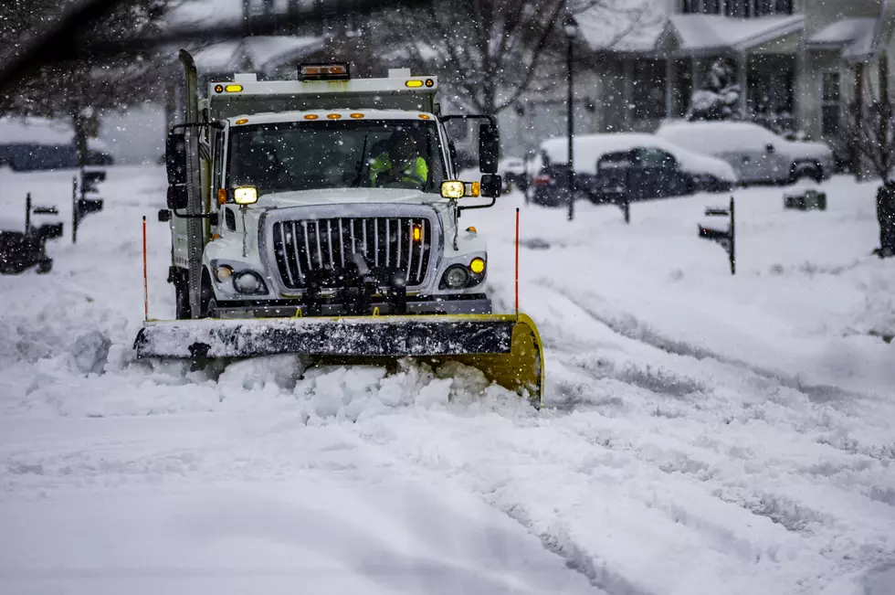
In the meantime, if you haven't shoveled your car out tonight, you may want to do that immediately. Rapidly falling temperatures will cause for aflash freeze making it tough for any snow to be moved around overnight and early on Monday.
KEEP READING: Get answers to 51 of the most frequently asked weather questions...
More From 94.5 PST