Summerlike weather returns: Warmer, more humid, thunderstorms
After two days of sparkling springtime weather, we have some changes to talk about in our weather forecast. But that's not necessarily a bad thing, especially if you've been craving a taste of summertime.
You're already waking up to warmer temperatures across New Jersey. While on Tuesday, we were facing some chilly temps in the 40s. Wednesday morning, we're mostly in the 60s. There are a few showers passing through New Jersey in the early morning hours, but generally we'll see mixed sunshine and clouds Wednesday. It is going to become much more humid as the day presses on. High temperatures will pop into the lower 80s Wednesday afternoon.
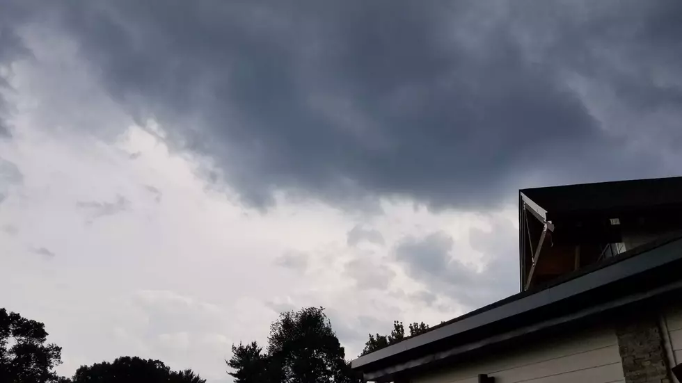
In addition, our one and only storm system of the week will arrive later on. We might see an isolated storm cell in the late afternoon hours, but I'm seeing most raindrops holding off until after 6 p.m. Wednesday evening.
Overnight, everyone in New Jersey will get wet. Pockets of heavy rain and loud rumbles of thunder are possible. The Storm Prediction Center has put northern New Jersey in a "marginal risk" of severe weather — a good precaution, but given the timing and strength of our impending storm system, our atmosphere doesn't look overly explosive.
I am a little concerned that showers will linger until midday Thursday. Then we'll clear away to sunshine by late Thursday afternoon. There will be a lag between post-storm end-of-rain and cooldown, so Thursday looks quite steamy. High temperatures will make a run for the mid 80s.
The humidity dials back Thursday night, and the forecast through the weekend looks amazing! Mostly sunny, dry, and lower 80s for Friday, Saturday, and Sunday. Cooler 70s at the Jersey Shore. Excellent.
Our next chance of rain will not come along until Monday or Tuesday of next week. So enjoy the lovely weather while it lasts!
Dan Zarrow is Chief Meteorologist for Townsquare Media New Jersey. Follow him on Facebook or Twitter for the latest forecast and realtime weather updates.
More From 94.5 PST


