Tornado Watch Issued for Our Area Wednesday Evening
For the second day in a row, the National Weather Service has issued a tornado watch of our area.
Mercer, Burlington, Camden and Gloucester counties in New Jersey are included in today’s watch area. Additionally, Bucks and Philadelphia counties in Pennsylvania are included in this evening's watch. In fact, most of Pennsylvania and Western New Jersey are included in today’s watch.
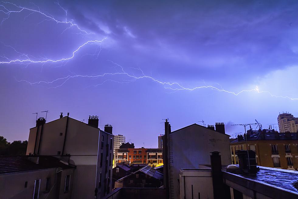
The watch remains in effect until 8 pm this evening as strong storms are expected to roll through our area this afternoon.
Don't panic yet. A tornado watch simply means we should be prepared. It does NOT mean that a tornado has been spotted in the area.
“Heavy rain will result in flash flooding, and severe thunderstorms will be capable of damaging winds and large hail,” the National Weather Service notes.
They’ve also issued a Flash Flood Watch for parts of our area as the strongest storms could produce up to 1-2” of rain.
“The best chance for strong thunderstorms will be from 3 p.m. to 10 p.m. Wednesday, with lingering showers and weak thunderstorms possible through about 2 a.m. Thursday,” Townsquare Media’s Chief Meteorologist Dan Zarrow explained this morning.
As for today’s storms, as of 1:30 pm: NO tornadoes have been spotted. A tornado warning will only be issued when a tornado has been spotted or one has indicated by weather radar.
Now is a good time (as always) to make sure you're prepared for any severe weather in the area. Here's a list of tips from Ready.gov on how you can prepare.
UP NEXT: The Clean-up Continues from Tuesday's Storms
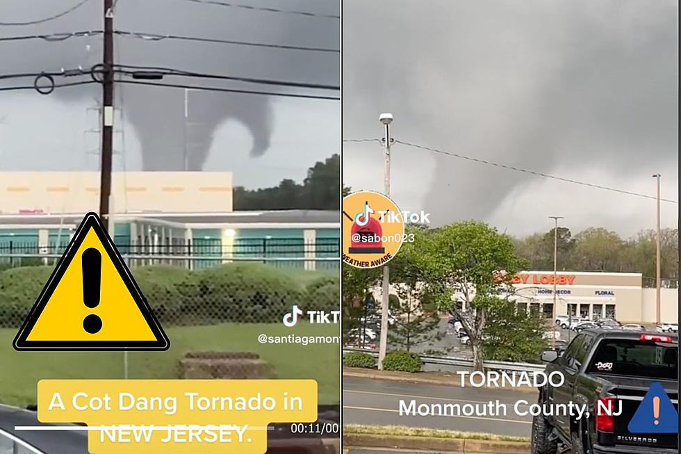
Yesterday’s round of storms resulted in several confirmed tornadoes touching down across the region. One tornado left a wide array of damage in Morgantown, Berks County, according to published reports.
The National Weather Service also confirmed that a tornado touched down in Sussex County (north Jersey) last night. That storm damaged a local high school, NJ1015 reported.
More From 94.5 PST


