Tornado Watch Issued for Our Area
The National Weather Service has issued a tornado watch of our entire area.
Mercer, Burlington, Camden and Gloucester counties in New Jersey are included in the watch area. Plus, Bucks and Philadelphia counties in Pennsylvania are included in this evening's watch.
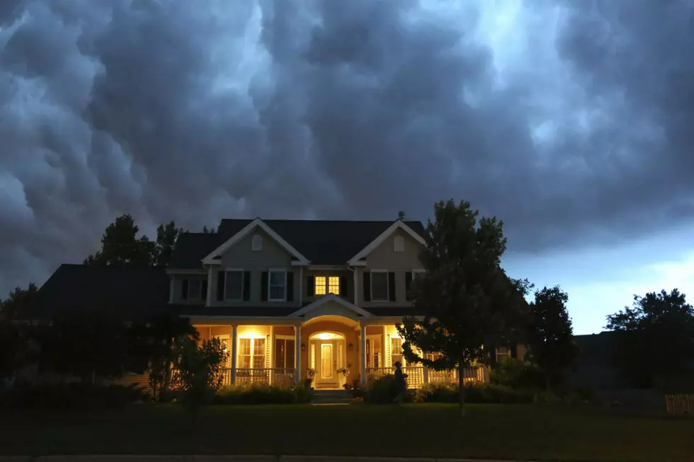
The watch remains in effect until 10 pm this evening as strong storms are expected to roll through our area this afternoon.
Don't panic yet. A tornado watch simply means we should be prepared. It does NOT mean that a tornado has been spotted in the area.
"Damaging winds, hail, and an isolated tornado are all possible," this evening according to the National Weather Service's statement.
"The progression of a warm front and a cold front will lead to more stormy weather for our area, starting around 3 p.m. or 4 p.m," Townsquare Media's Chief Meteorologist Dan Zarrow shared earlier today.
"Tornadoes are possible in and near the watch area... The watch area is typically large, covering numerous counties or even states," the National Weather Service notes. Today's watch area covers all of Pennsylvania and western New Jersey.
A tornado warning will only be issued when a tornado has been spotter or one has indicated by weather radar.
By the way, there's another chance of severe weather later on Wednesday. Most of Wednesday, however, looks to be fine. Dan Zarrow says it will be "partly sunny, warm, and humid" with temperatures around 80 or so.
Now is a good time (as always) to make sure you're prepared for any severe weather in the area. Here's a list of tips from Ready.gov on how you can prepare.
To be clear: there is NO reason to panic at this point (as of 3:15 pm). A tornado has NOT been spotted in our area.
More From 94.5 PST