How much snow fell in NJ? Totals so far as snow mucks up highways
Scroll down for snowfall totals updated Saturday afternoon.
New Jersey woke up Saturday morning to double-digit snowfall along the coast but New Jersey 101.5 Meteorologist Dan Zarrow said at 9 a.m that we had "turned the corner," with snowfall expected to taper off through the afternoon.
While the threat of coastal flooding subsided Saturday morning, additional light snowfall and drifting snow from the wind could continue to be a problem, Zarrow said.
"It's a statewide event but the shore is getting clobbered the most," Gov. Phil Murphy said Saturday morning during The Big Joe Henry Show on New Jersey 101.5.
Murphy on Friday declared a state of emergency and urged residents to hunker down on Saturday and stay off the roads. He told Big Joe that most people heeded that recommendation.
Murphy said more than 3,000 pieces of road equipment were deployed across the state but the drifting snow would impede the progress of snow clearing into the afternoon.
See below for the snowfall totals so far on Saturday morning.
The blizzard conditions brought below-freezing winds but the state's utility companies were only reporting a smattering of power outages Saturday morning: JCP&L had about 600 customers without power, Atlantic City Electric another 266, and PSE&G just a half dozen before 9:30 a.m.
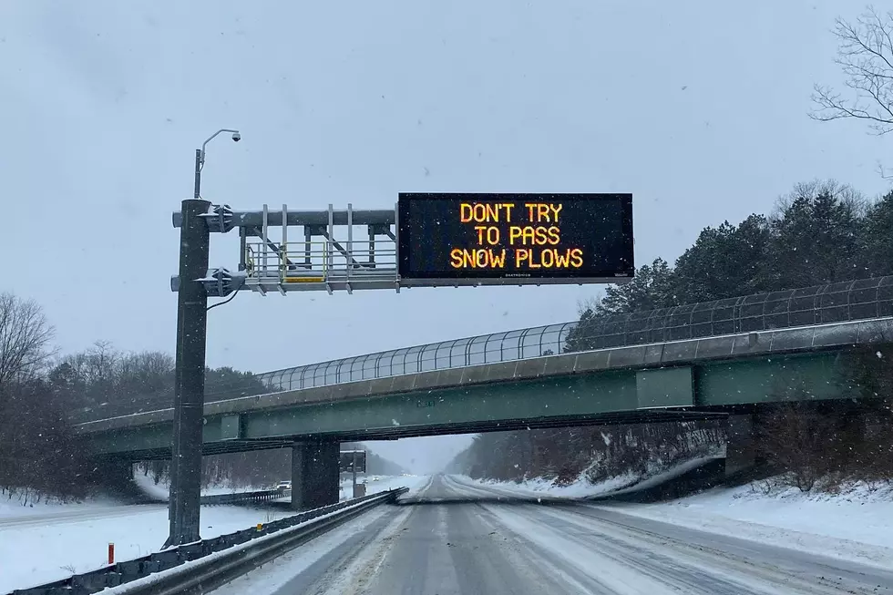
The roads, however, were a different matter with slow-moving traffic and commercial vehicle restrictions on the state's interstate highways. Garden State Parkway remained snow-covered between the New Jersey Turnpike and the Atlantic City Expressway.
The region's airports canceled hundreds of flights Saturday morning. (Newark EWR info | Philadelphia PHL info | JFK info | LaGuardia info | Atlantic City info)
NJ Transit also suspended its bus services Saturday morning. Service was expected to resume Sunday morning. Rail service continued with weekend schedules.
The storm was expected to dump snow from Virginia to Maine, with parts of Massachusetts expecting as much as 30 inches.
New Jersey snowfall totals
Below are the numbers reported to the National Weather Service offices in Mount Holly and Manhattan. Most times are Saturday afternoon.

Atlantic County
Absecon — 18.5 inches
Smithville — 16.1 inches
Northfield — 15 inches
Mays Landing — 14 inches
Hammonton — 13 inches
Egg Harbor Township — 12.6 inches
Bergen County
Bergenfield — 6.9 inches
East Rutherford — 6.2 inches
Burlington County
Burlington Township — 9.8 inches
Tabernacle — 9.6 inches
Columbis — 9 inches
Mount Holy — 8.5 inches
Delran — 8.2 inches
Hainesport — 7.5 inches
Florence — 7.2 inches
Moorestown — 7 inches

Camden County
Pine Hil — 8.5 inches
Sicklerville — 8 inches
West Berlin — 7.5 inches
Haddon — 7.4 inches
Cape May County
Sea Isle City — 14.8 inches
Cape May Court House — 13 inches
Stone Harbor — 11.5 inches
Cumberland County
Downe — 10.7 inches
Vineland — 10 inches
Millville — 8.5 inches
Upper Deerfield — 7.7 inches
Bridgeton — 7 inches
Essex County
Newark — 7.1 inches
West Orange — 7 inches

Gloucester County
Newfield — 10.1 inches
Williamstown — 10 inches
Mantua — 9 inches
Glassboro — 8 inches
West Deptford — 7.1 inches
Sewel — 6.5 inches
Monroe — 6 inches
Hudson County
Hoboken — 8.5 inches
Jersey City — 8.5 inches
Hunterdon County
Ringoes — 4.9 inches
Flemington — 3.5 inches
Mercer County
Hopewell — 9.2 inches
Robbinsville — 9 inches
Hamilton Square — 8.8 inches
Ewing — 8.5 inches

Middlesex County
Old Bridge — 10 inches
North Brunswick — 8.3 inches
East Brunswick — 8 inches
Metuchen — 7.5 inches
Carteret — 6 inches
Monmouth County
Spring Lake Heights — 17 inches
Tinton Falls — 15 inches
Eatontown — 14.2 inches
Holmdel — 14 inches
Freehold — 13 inches
Howell — 13 inches
Leonardo — 12 inches
Middletown — 11 inches
Neptune City — 10.1 inches
Aberdeen — 9 inches
Morris County
Budd Lake — 5.6 inches
Randolph — 4.8 inches
Florham Park — 4 inches
Lake Hopatcong — 3.7 inches
Montville — 3.3 inches
Butler — 3 inches

Ocean County
Bayville — 21 inches
Little Egg Harbor — 18 inches
Point Pleasant — 17 inches
Brick — 16.8 inches
Forked River — 16 inches
Manahawkin — 16 inches
Toms River — 16 inches
Tuckerton — 16 inches
Manchester — 15.1 inches
Passaic County
Wayne — 6.1 inches
Salem County
Pennsville — 4.4 inches
Elmer — 4.1 inches
Somerset County
Warren — 6.5 inches
Basking Ridge — 5.8 inches
Hillsborough — 5 inches
North Plainfield 5 inches
Raritan Borough — 4.1 inches
Sussex County
Stockholm — 5 inches
High point — 4 inches
Andover — 3.8 inches

Union County
Elizabeth 8.5 inches
Plainfield 6.1 inches
Warren County
Hackettstown 4.5 inches
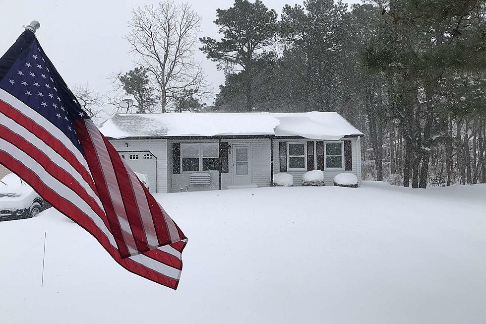
Your photos: First blizzard of 2022 in New Jersey
Gallery Credit: New Jersey 101.5 users
Sergio Bichao is the digital managing editor of New Jersey 101.5. Send him news tips: Call 609-775-9793 or email sergio.bichao@townsquaremedia.com.
LOOK: Food history from the year you were born
Gallery Credit: Joni Sweet
More From 94.5 PST


